Phase One
10 stories
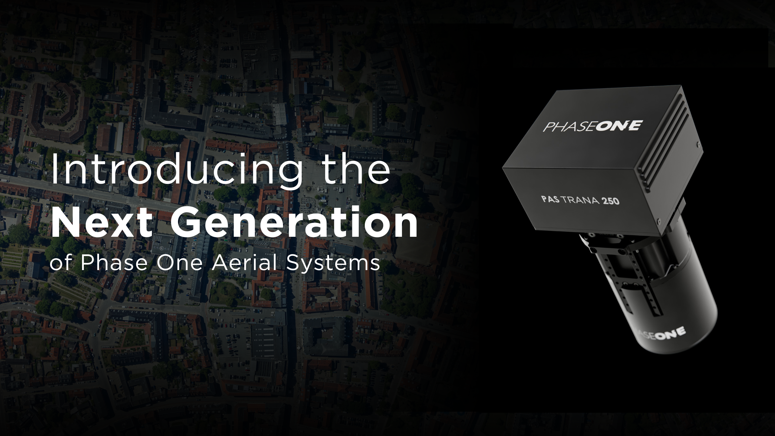
Phase OneMakersPhase One introduces Next-Generation Aerial Systems A modular, best-in-class imaging platform combining advanced camera technology, optimized processing workflows, mission planning and flight management, alternative IMU options, climatized system…
Phase OneMakersHow aerial camera calibration works at the Phase One Calibration Lab Accurate aerial mapping starts with calibration. Explore how Phase One performs metric camera calibration and flight validation. Learn more.
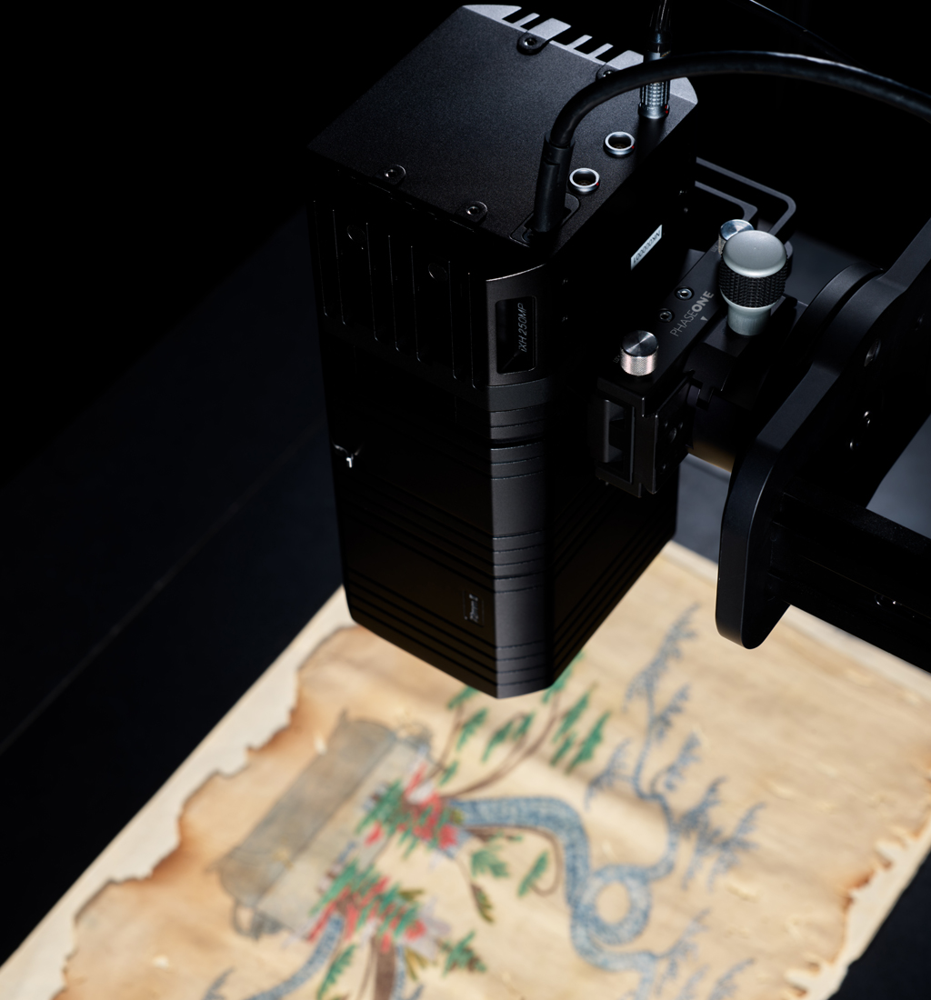
Phase OneMakersPreserve Today for Tomorrow: Phase One Introduces the iXH 250MP Camera System Preserve Today for Tomorrow: Phase One Introduces the iXH 250MPCamera System. Instant Image Quality for Large-Scale Digitization
Phase OneMakersPhase One introduces iX Process – a new standard for simplified, high-performance mapping workflows Home Phase One introduces iX Process – a new standard for simplified, high-performance mapping workflows
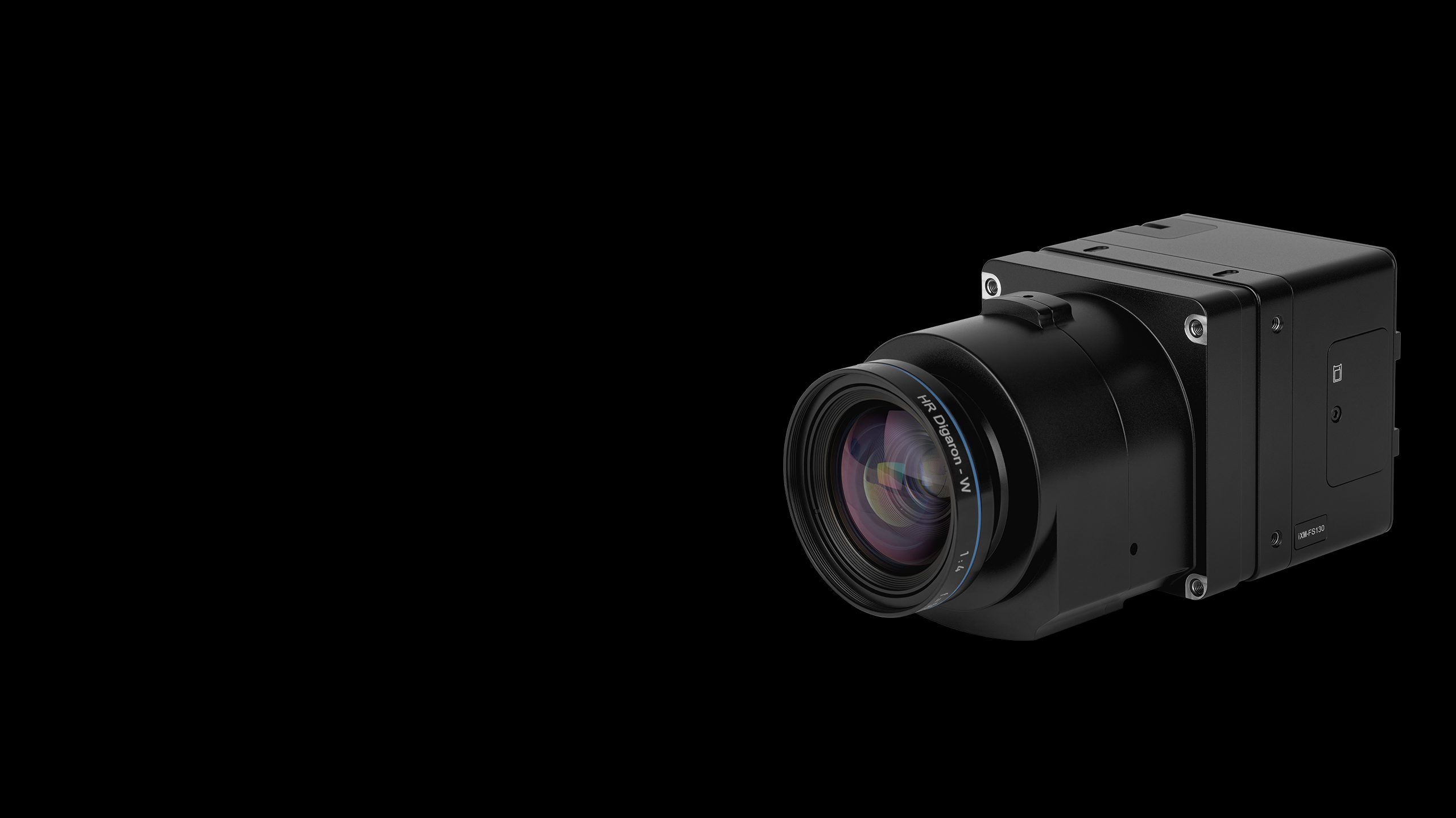
Phase OneMakersA new benchmark – sub-centimeter aerial mapping at aircraft speeds without compromises Phase One launches iXM-FS130 to unlock 1 cm GSD mapping from fixed-wing aircraft at 120+ knots with motion-free capture. Read the release.
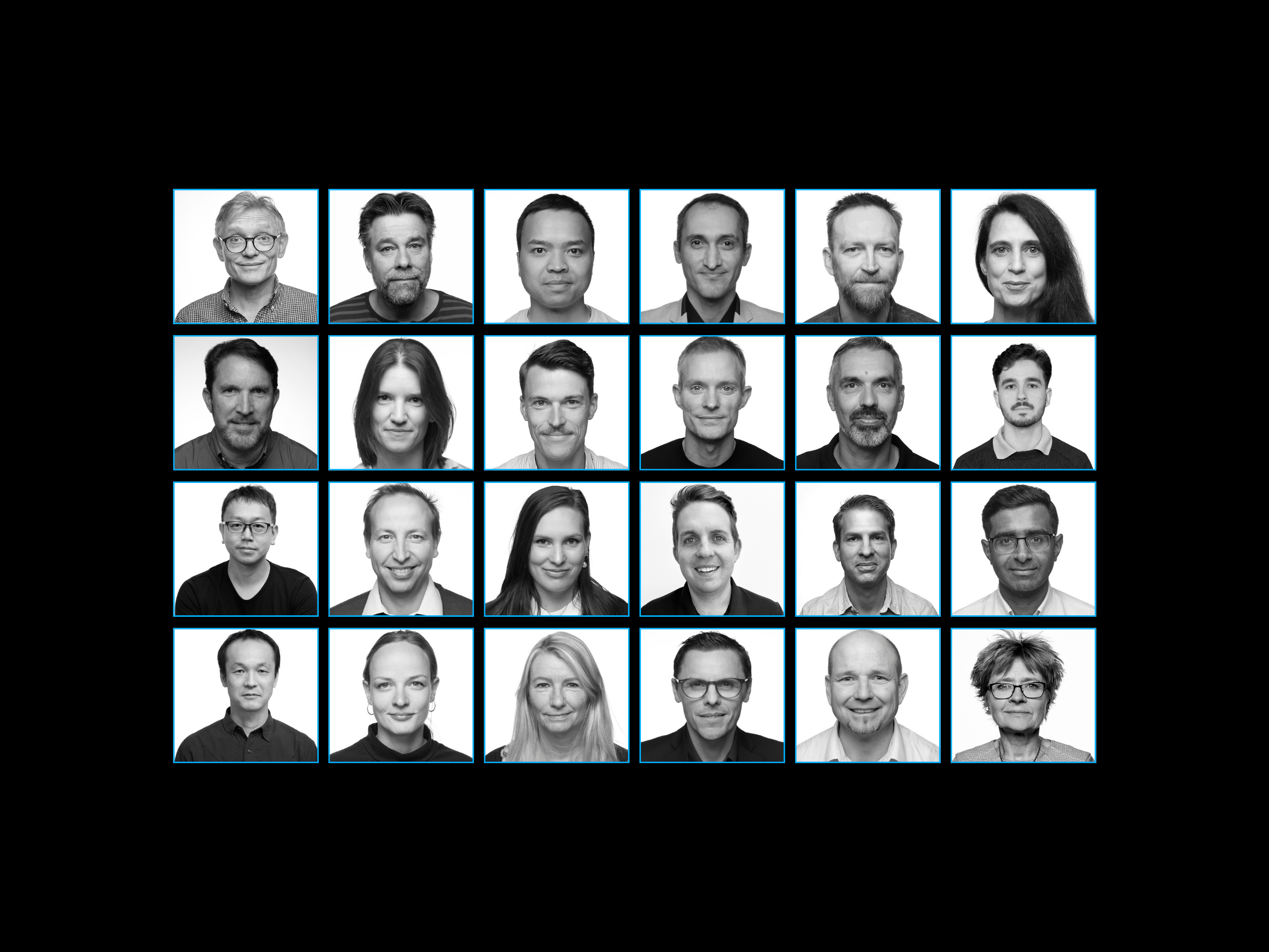
Phase OneMakersBeyond the Frame – Phase One Stories: Meet Dr. Mohsen Miri, Director of Strategic Partnerships As director of strategic partnerships at Phase One, Mohsen is dedicated to building meaningful collaborations that move the geospatial industry forward.

Phase OneMakersPhase One joins EAASI as full member The European aerial mapping sector grows stronger with Phase One joining EAASI, European Association of Aerial Surveying Industries.
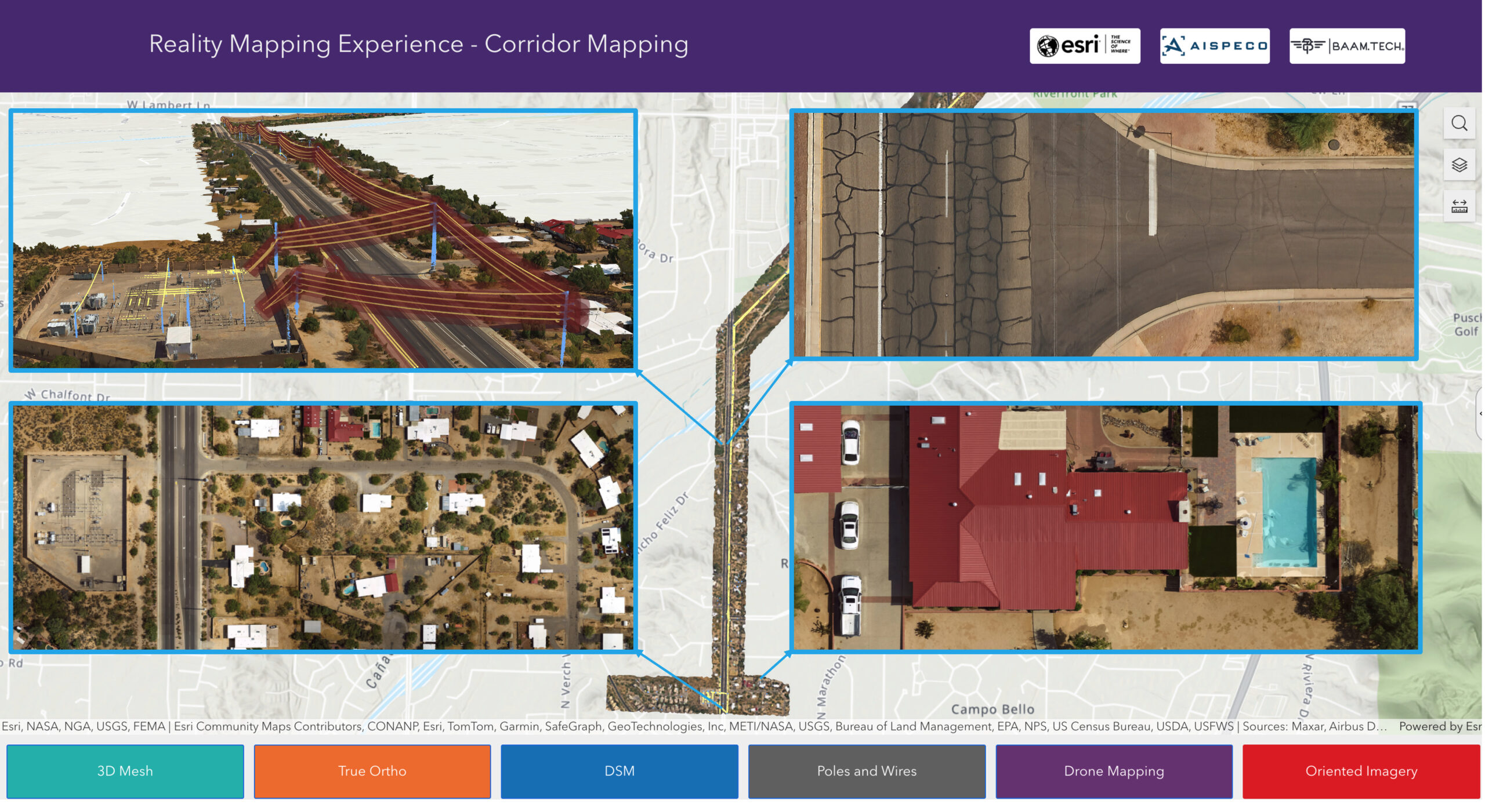
Phase OneMakersPhase One Featured in GIM International: Sensor Fusion transforms aerial mapping Achieve high-resolution corridor mapping with Phase One sensor fusion technology. See how LiDAR and RGB data create digital twins.
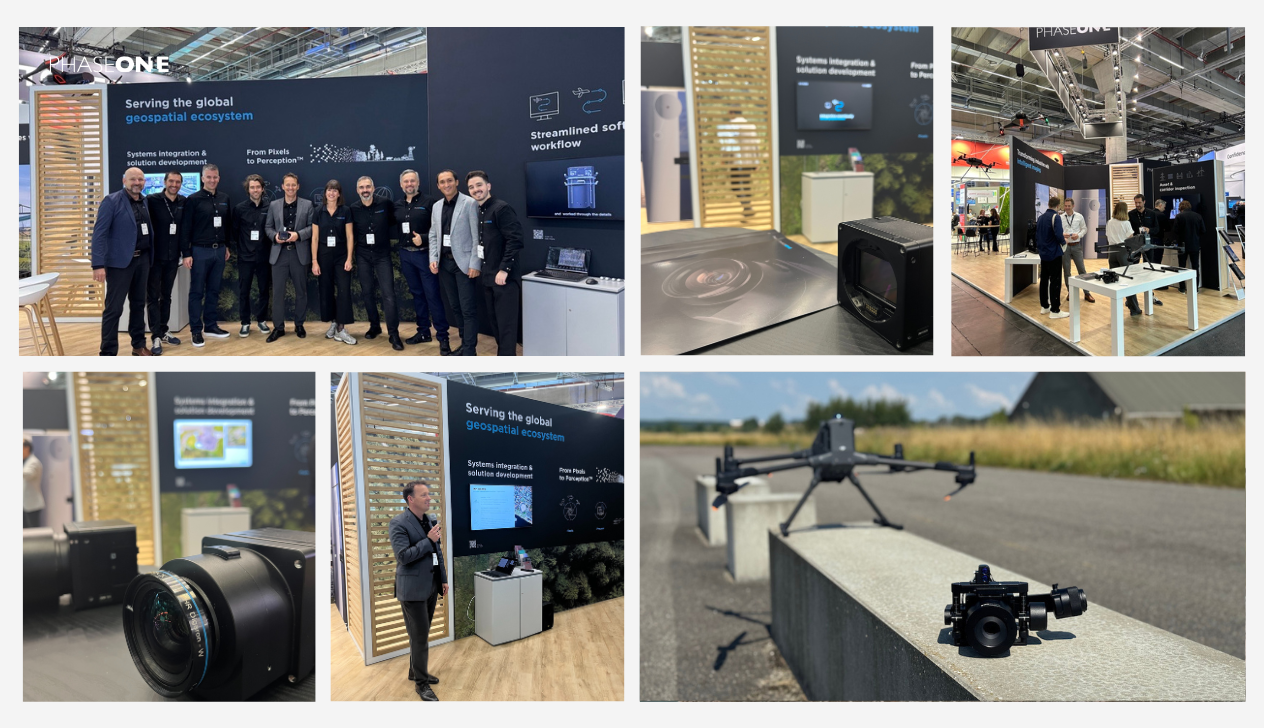
Phase OneMakersPhase One unveils a powerful lineup of innovations at Intergeo 2025 Explore Phase One’s new aerial camera and drone integrations revealed at Intergeo 2025. See how imaging innovation drives geospatial mapping!
Phase OneMakersTerX Aero and Phase One set a new benchmark, delivering an unmatched combination of accuracy, resolution, and performance TerX Aero sets a new benchmark in drone mapping accuracy with Phase One P5. See how this innovation redefines imaging precision.
Nothing matches this filter yet.